

Maps
Maps
There are a variety of ways in which the population of Central Bedfordshire is divided up, i.e., Ward, OA, LSOA, MSOA, Neighbourhood, ICS.
The Office for National Statistics Open Geography Portal provides a thorough explanation of the various geographies that are available for official statistics.
The primary boundaries used in Central Bedfordshire are depicted on the maps below.
Output Area (OA)
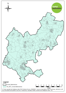
OAs are designed to have similar population sizes and be socially homogenous. The minimum size is 40 households with 100 residents, but the recommended size is 125 households.
Lower Super Output Area (LSOA)
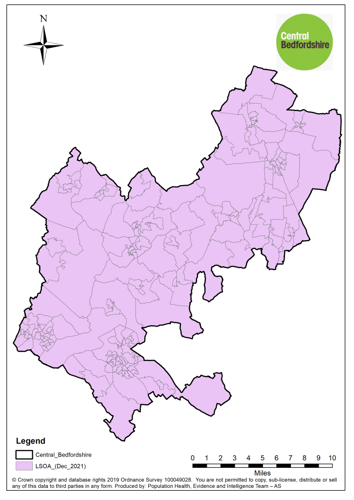
LSOAs are made up of groups of Output Areas. LSOAs typically have a population of between 1,000 and 3,000 people or have between 400 and 1,200 households.
Medium Super Output Area (MSOA)
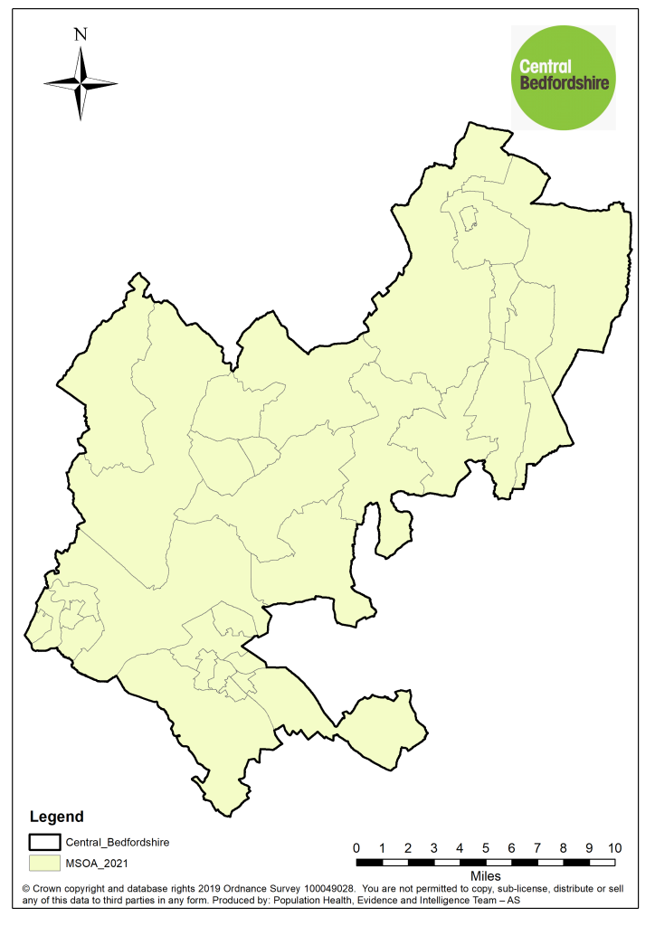
MSOAs are made up of groups of Lower Super Output Areas. MSOAs typically have a population of between 5,000-15,000 people and 2,000 – 6,000 households.
Ward (Electoral)
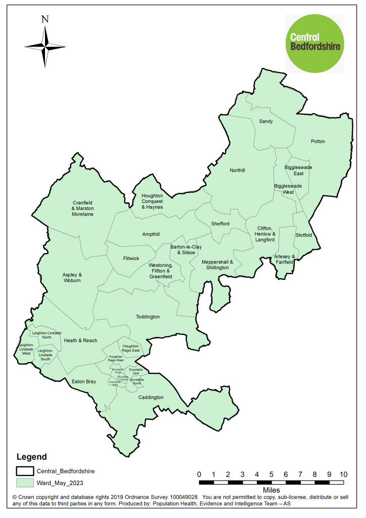
A Ward is a geographic subdivision of a local authority area that is used for electoral purposes. Central Bedfordshire has 31 Wards.
Neighbourhood (Fuller)
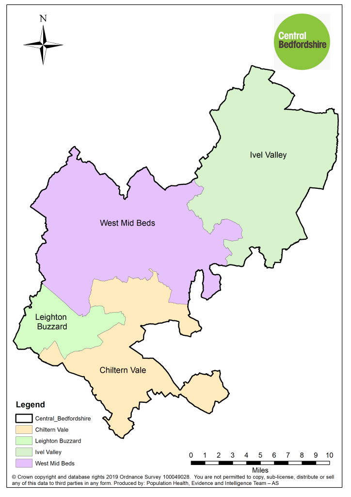
The Fuller Neighbourhoods initiative was introduced as part of NHS England’s drive to create more integrated, community-focused healthcare. The need for this approach arose from the recognition that many Primary Care Networks (PCNs) had limited infrastructure and support, which hindered their ability to enact more comprehensive changes. Fuller Neighbourhoods aim to remedy this by providing a shared, multidisciplinary structure to tackle health issues at a local level, aligning various healthcare services to provide personalized and preventative care.
Integrated care system (ICS)
ICS is a partnership of organisations that work together to plan, coordinate, and pay for health and care services, improve health, and reduce inequalities across geographical areas.
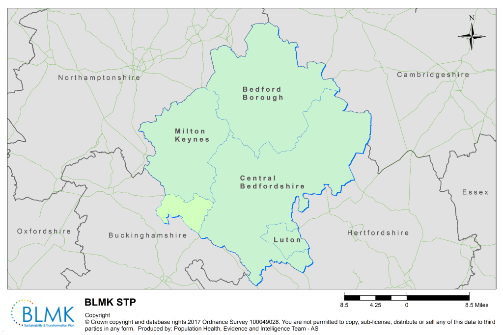
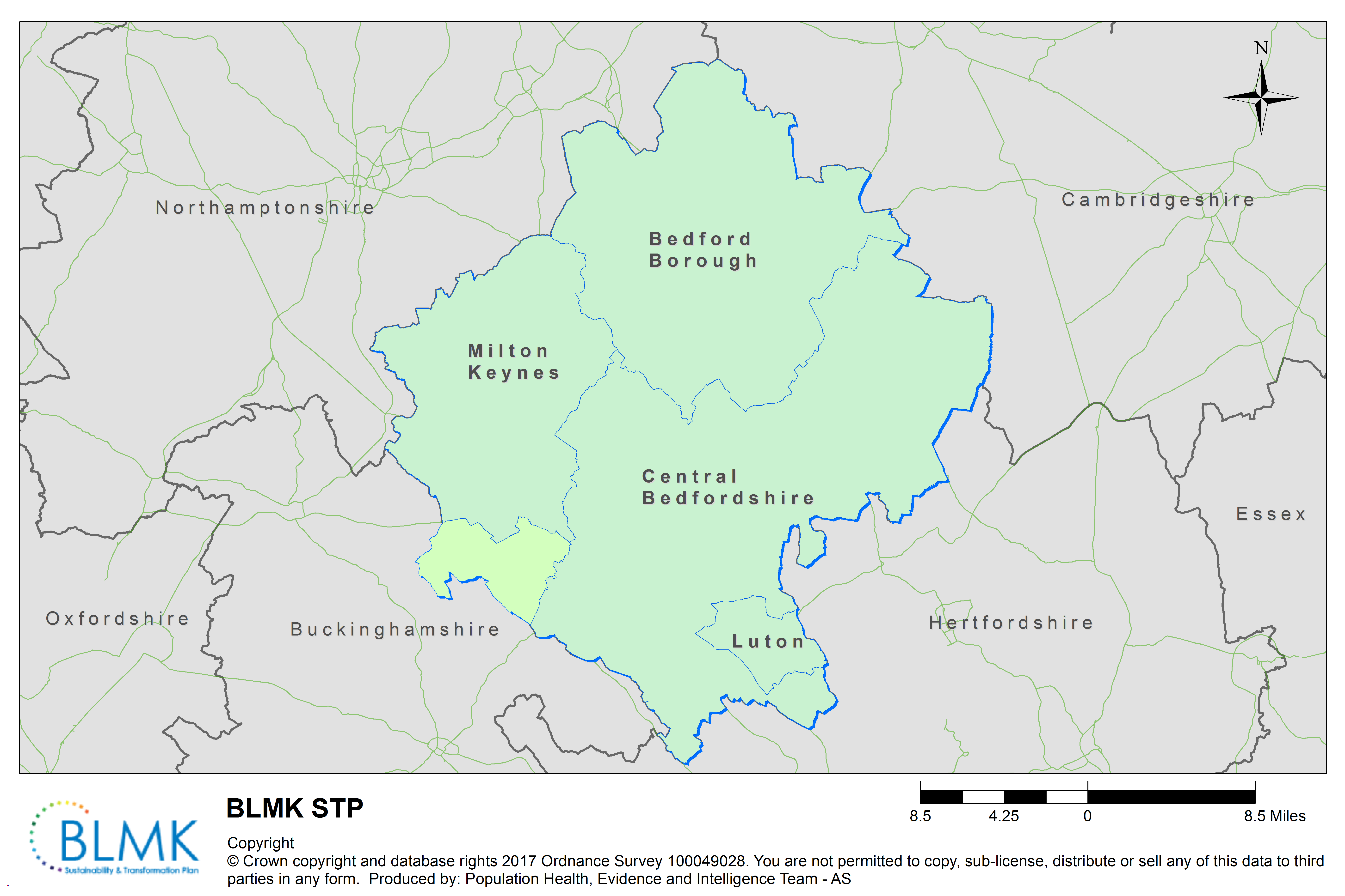
Central Bedfordshire Local Insight
Central Bedfordshire’s JSNA Local Insight tool is a community mapping and reporting tool using up-to-date national open data and locally uploaded data.
It’s a service that allows you to find, explore and use a wide range of facts and figures at different geographic levels for Bedford Borough.
You can generate bespoke and in depth profile reports with the confidence of using the most recently available data.
More data about Central Bedfordshire’s population is available via Bedford Borough Local Insight.